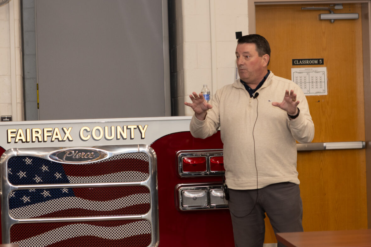
Last week, public safety leaders and practitioners gathered at the Fairfax County Fire Training Academy for what I believe will be remembered as a pivotal moment for this industry. The First Responder Indoor Tracking Summit, hosted by Chief John Butler and the Fairfax County Fire and Rescue Department, brought together leaders who don’t just understand the stakes of this issue, they live them every single day.
After more than 20 years working in this community, I’ve sat through my share of conferences, summits, and technology briefings. Last week’s event was different. It wasn’t a discussion about gadgets, ideas, or vague future capabilities but, instead, a group of experts united around a single focus. It was an urgent, honest, deeply personal conversation about a gap that every responder, SWIC, dispatcher, and chief in that room knows puts lives at risk: the need to reliably locate people — both callers and responders — inside buildings. Not only on the x/y axis, but vertically on the z-axis. On the 32nd floor. In the stairwell landing. The exact place where seconds matter and guesses are dangerous.
Chief Peter Burke and Kevin Roche (Ret. Assistant Chief, Phoenix Fire and Fire Service SME) opened the day by grounding everyone in a hard truth: GPS fails public safety more often than the public realizes and sometimes more often than we want to admit. Whether in a warehouse, retail, a basement apartment, or a multi-story high-rise, responders frequently walk into burning buildings, active crime scenes, medical emergencies, and hazmat environments without knowing where the person who needs help actually is, or where their own people are operating. Mr. Roche talked about two real-world incidents: one in South Carolina and another in Phoenix, where tragic fatalities took place due to the inability to locate responders. In South Carolina, those firefighters were a mere 40 feet away from the front entrance, but nobody knew.
“If we had the ability in both of these fires to understand where firefighters are in the building, to understand where responders are, or the people that are calling 9-1-1, I think it would change the world…If there’s a technology out there that’ll show us where firefighters are in the building, there’s no other technology that would be more important to the fire service.” – Kevin Roche
When location information is wrong, delayed, or missing, responders rely on experience, instinct, and hope. But hope is not a strategy, and public safety deserves better.
The day unfolded into a comprehensive exploration of these issues. Industry partners including ESRI, First Due, 3AM Innovations, and myself from NextNav, walked through how we’re using location data today and what is needed to make it actionable tomorrow. Hearing from other industry experts matters. These companies have been building, testing, and deploying location-based capabilities for years. Their message was consistent: 3D awareness isn’t a future ambition. It’s a present necessity and we need the communities’ help to keep moving forward. As Mike Cox from ESRI put it, “It’s the indoor, obviously, that we have to address. And these technologies will continue to evolve. But again, we need your input. We need your ability to drive our technologies, to drive our development.“
On behalf of NextNav, I spoke about the need for a resilient 3D PNT (Positioning, Navigation, and Timing) foundation, because without reliable positioning, indoor mapping, routing, and visualization tools the solution will always be incomplete. As I said during the session, no device, network, tool, or vendor can solve this alone. The “sum of the parts” is what delivers operational reality. Public safety operates on a system of systems for resiliency — and PNT resiliency must be the same, a PNT system of systems that ensures location, timing, and navigation are available even when GPS is not.
Later in the morning, Arlington County’s Jeff Wobbleton and Ned Waterfall presented the National Capital Region’s 3D testing results. Their testing demonstrated something the entire room felt: reliable vertical location is achievable today, and it can dramatically improve operations across fire, EMS, and law enforcement. Their findings showed the value of combining calibrated barometric data, indoor mapping, and visualization tools to reduce search areas. It was powerful, pragmatic evidence — the kind decision-makers rarely get to see firsthand. Here’s a look at their presentation on the findings:
The panel that followed, moderated by Chief Burke, was a lineup of powerhouse voices in our industry, speaking candidly on the issue of location accuracy for Public Safety. Leaders including Charles Guddemi (DC SWIC), Chief David Povlitz (Arlington County Fire), Adam Eldert (Fairfax County IT), and Walt Kaplan (Alexandria PSC) spoke openly about what they’re facing in the field: the gaps they encounter, the tools they rely on, the places technology succeeds, and the places it falls short. Again and again, the theme resurfaced: inaccurate or missing location data doesn’t just slow the mission. It jeopardizes it.
Across every discussion, from the technical deep dives to the operational panel, to Assistant Chief Tracey Reed’s closing remarks, the message was unmistakable: public safety must speak with one voice. We need unified, urgent advocacy for standards, interoperability, funding, and regulations that bring accurate, reliable 3D location capabilities to every responder, every PSAP, and every jurisdiction.
All of the participants at the summit are making tremendous progress, but we cannot drive this alone. I thank Fairfax County Fire and Chief Butler for giving the public safety community the platform for this discussion. We in the industry can build the solutions. Researchers can evaluate those solutions. Federal partners can set policy frameworks. But only public safety can articulate what must change and what’s at stake if we fail to act.
The good news is momentum is growing. FCC Chairman Brendan Carr became the first chairman to issue a Notice of Inquiry on PNT resiliency, acknowledging what responders have known for years: “Continuing to rely so heavily on one system leaves us exposed.” He’s right. We cannot continue placing our emergency response ecosystem and the people it protects on a single point of failure.
At NextNav, our history is rooted in serving this community. This mission and expertise is why I joined the team 4 years ago. Our work on 3D location and backup timing wasn’t born from a petition. We’ve dedicated years to building a solution that works in the real world — across networks, across devices, indoors and out — and to collaborating with partners across this ecosystem who rely on z-axis and location data every day.
To the public safety leaders who participated, I want to say thank you. Your voices carry weight. Your experiences cut through noise and bureaucracy. Your willingness to share failures and vulnerabilities is what drives meaningful change. As the clips and photos in this blog will show, your unity in Fairfax sent a powerful signal: the time for action is now.
But this can’t be a one-day conversation. It has to be a turning point. We’re looking forward to continuing this discussion at IAFC’s Technology Summit International (TSI) next month and the team is ready to talk: https://nextnav.com/tsi-2025/
After what I witnessed at this summit, I believe this community is ready and I’m honored to be part of the work ahead.