Reflecting on the recent summit hosted by the National Institute of Standards and Technology (NIST) Public Safety Communications Research (PSCR) and the First Responder Network Authority, I am energized by the collaborative spirit and advancements made in public safety communications. Held in Chicago from June 25-27, this event brought together key figures from public safety, academia, government, and industry to explore the current state and future of public safety communications technology.
One of the summit’s highlights was the focus on location services technology. These services are crucial for emergency callers, First Responder tracking, situational awareness, and wildfire response. Over 20 demonstrations showcased the advancements in this field.
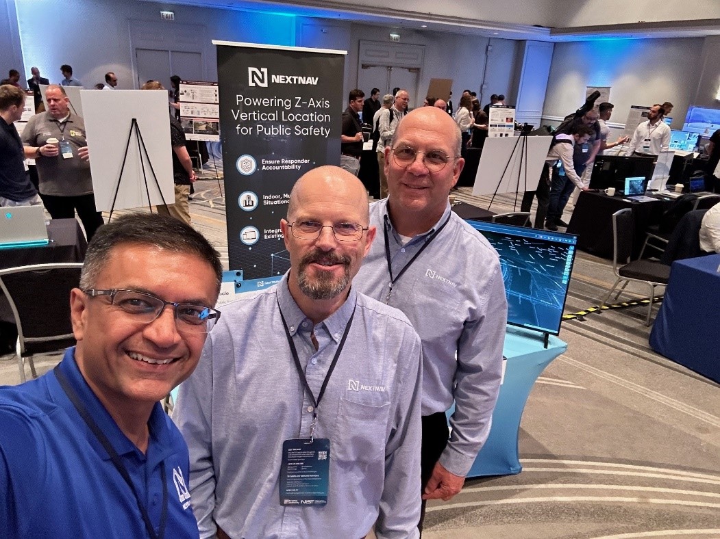
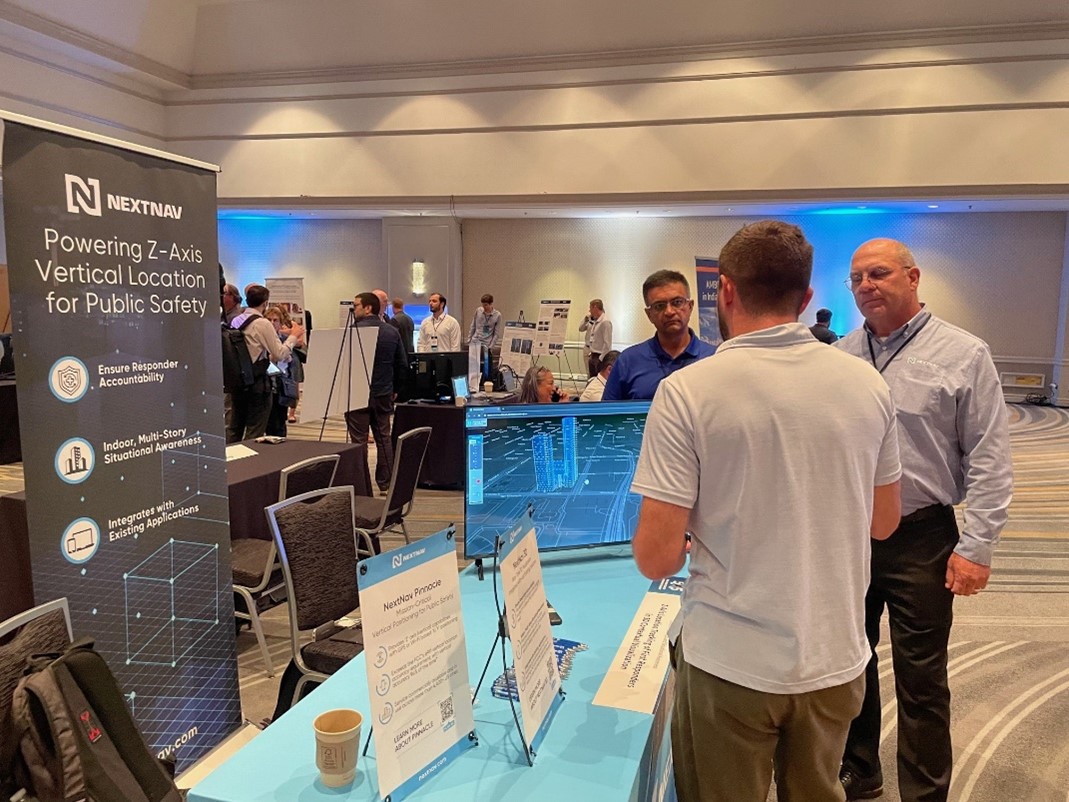
At the summit, NextNav had the honor of being represented by Erik Loberg, Jay Patel, and myself. We presented NextNav 3D, our technology that incorporates vertical location data into traditional geolocation services. This integration provides a comprehensive 3D visualization of First Responder or emergency caller locations, a game-changer for urban environments with multi-story buildings.

Traditional geolocation services are limited to two dimensions, but NextNav 3D adds z-axis data, giving telecommunicators and command staff a clear and precise 3D map display and building wireframe data. Unlike many of the location service providers at the summit, this enhanced capability is now commercially available, with several partners already integrating it into their systems.

The feedback from the summit has been overwhelmingly positive, reinforcing our belief in the significant impact NextNav 3D can have on public safety. It was a powerful reminder of our collective commitment to improving public safety communications. If you’d like to learn more about NextNav 3D, hit the “Let’s Meet” button and a member of our team will reach out!